 Image 1 of 17

 Image 2 of 17

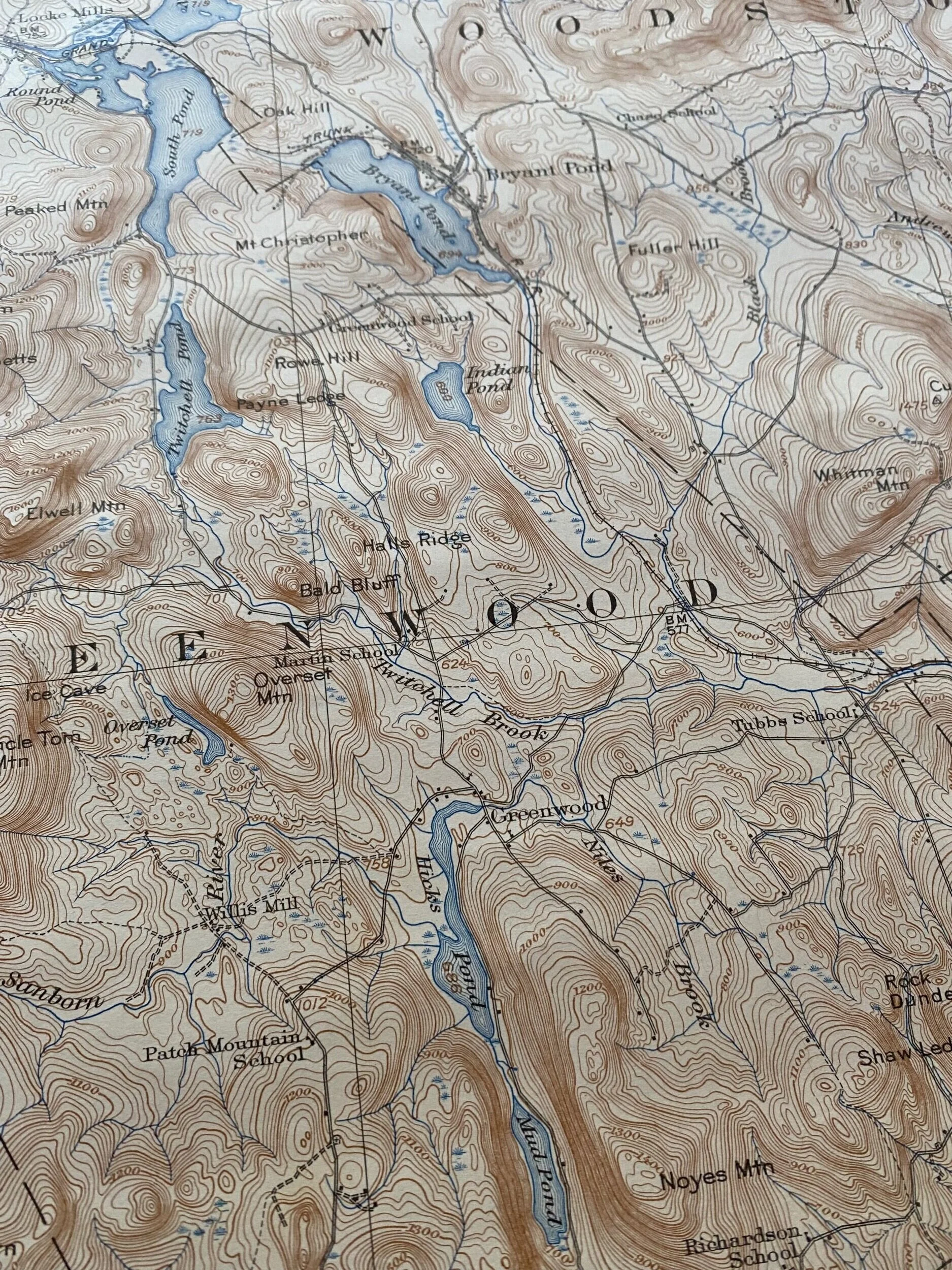 Image 3 of 17

 Image 4 of 17

 Image 5 of 17

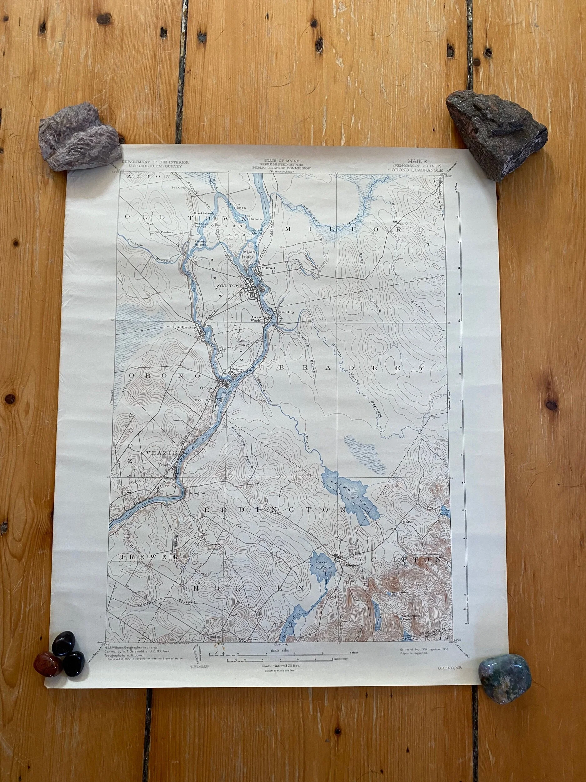 Image 6 of 17

 Image 7 of 17

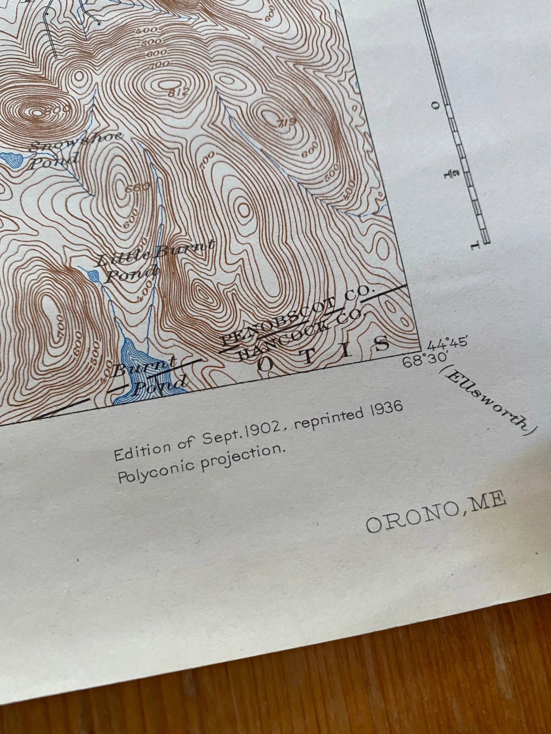 Image 8 of 17

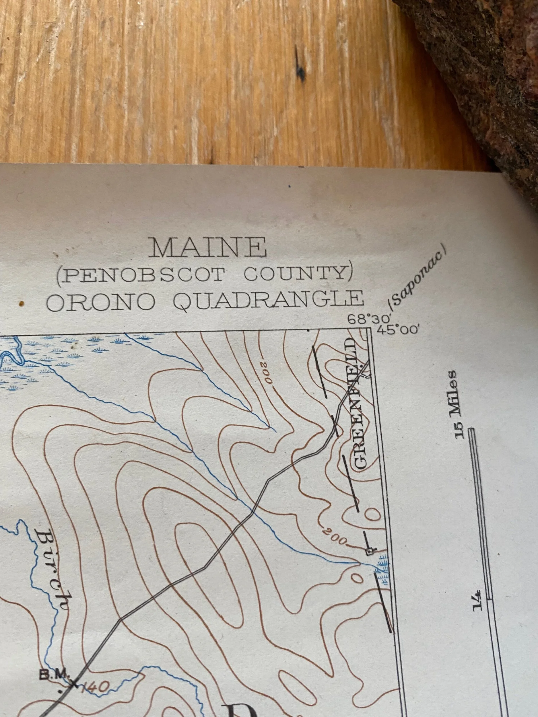 Image 9 of 17

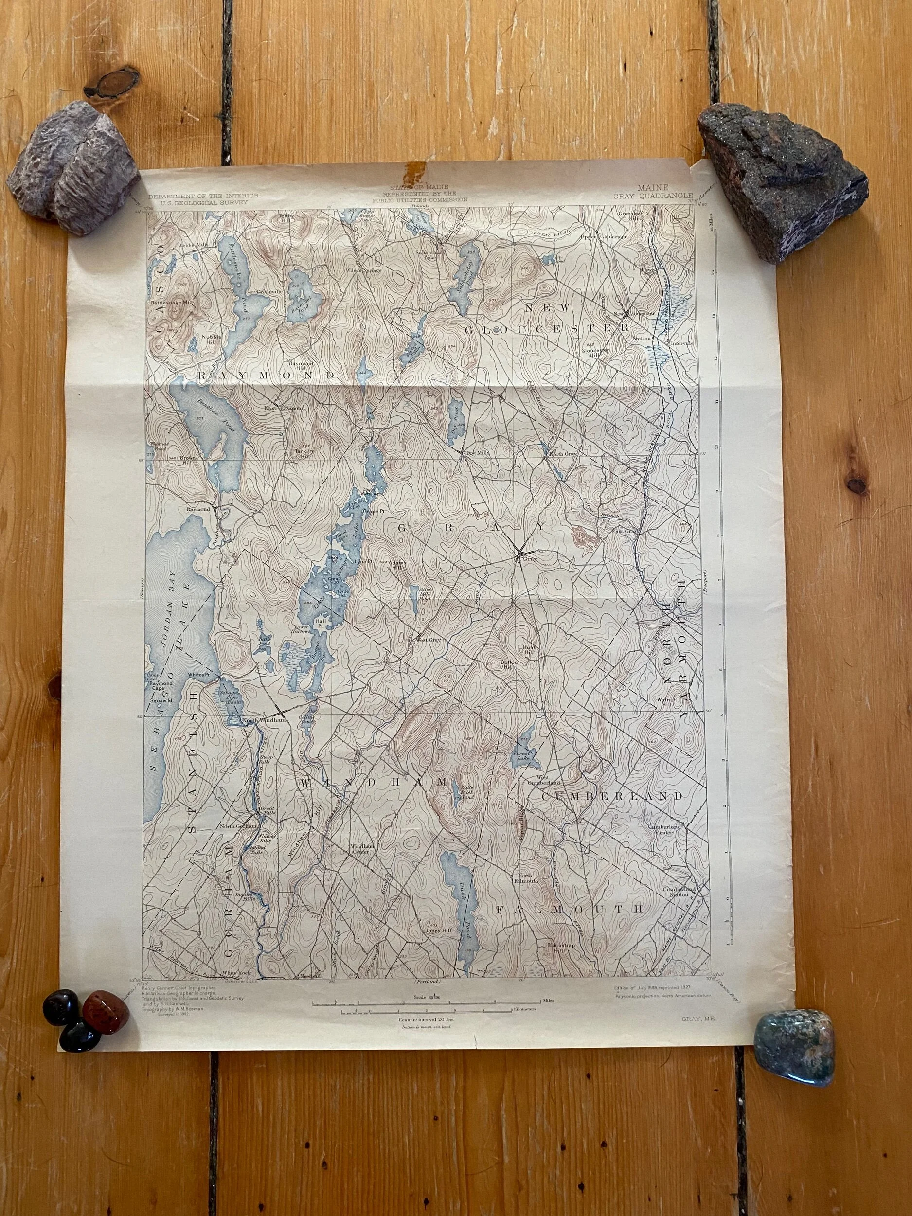 Image 10 of 17

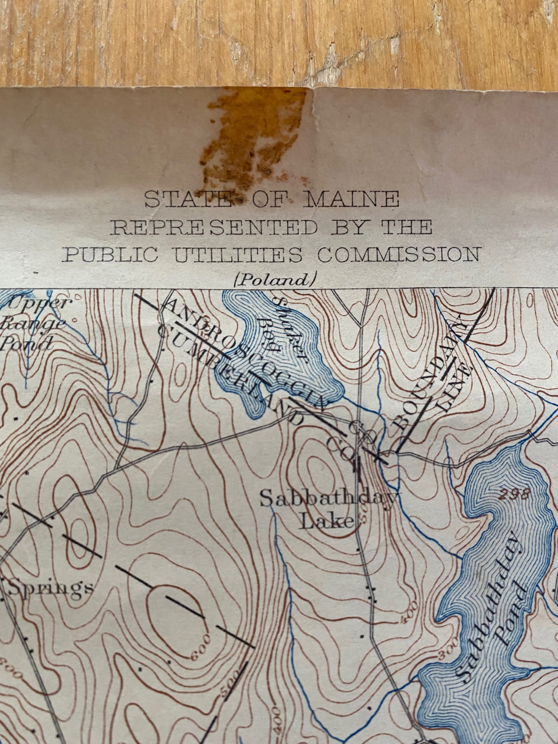 Image 11 of 17

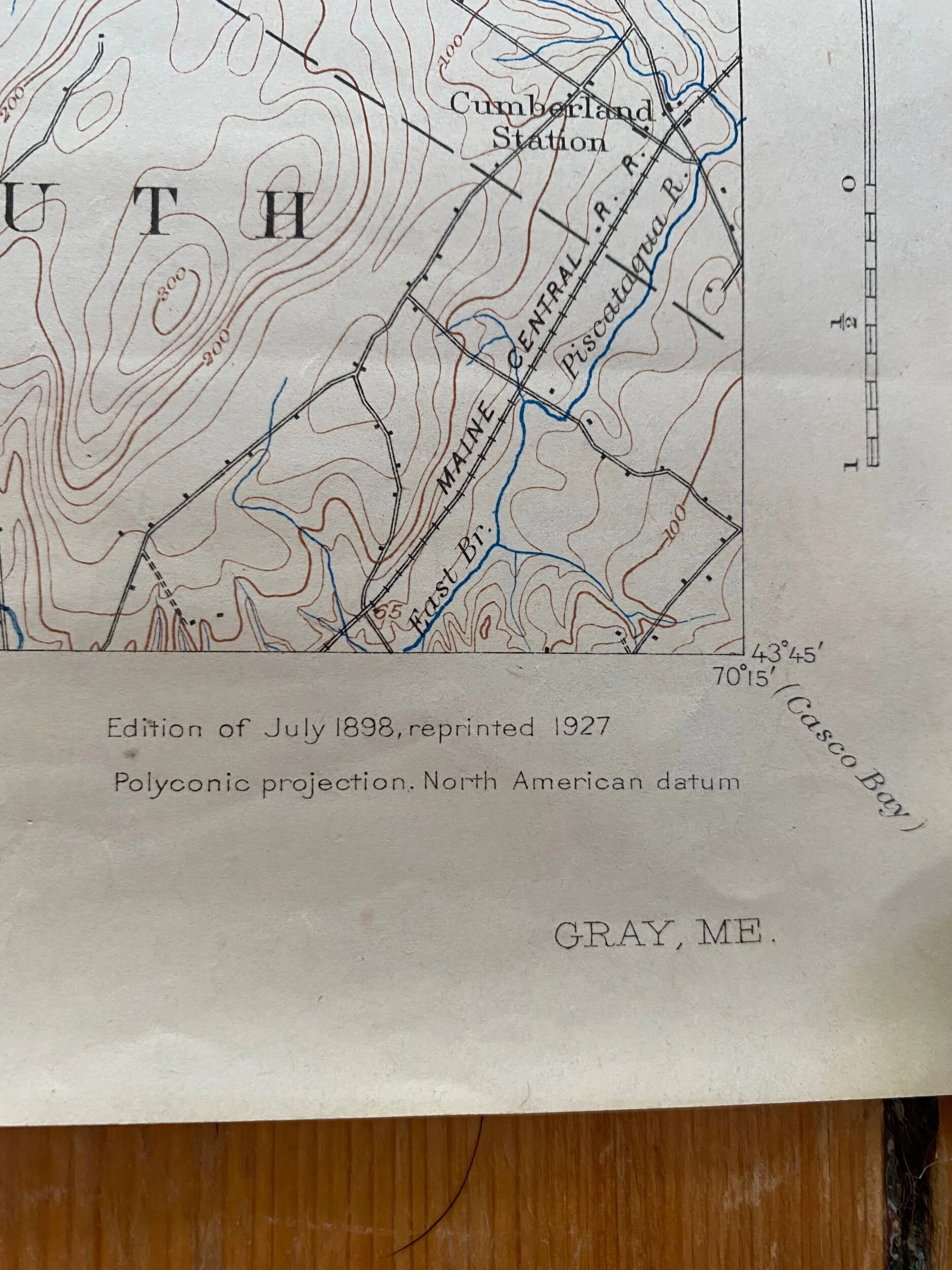 Image 12 of 17

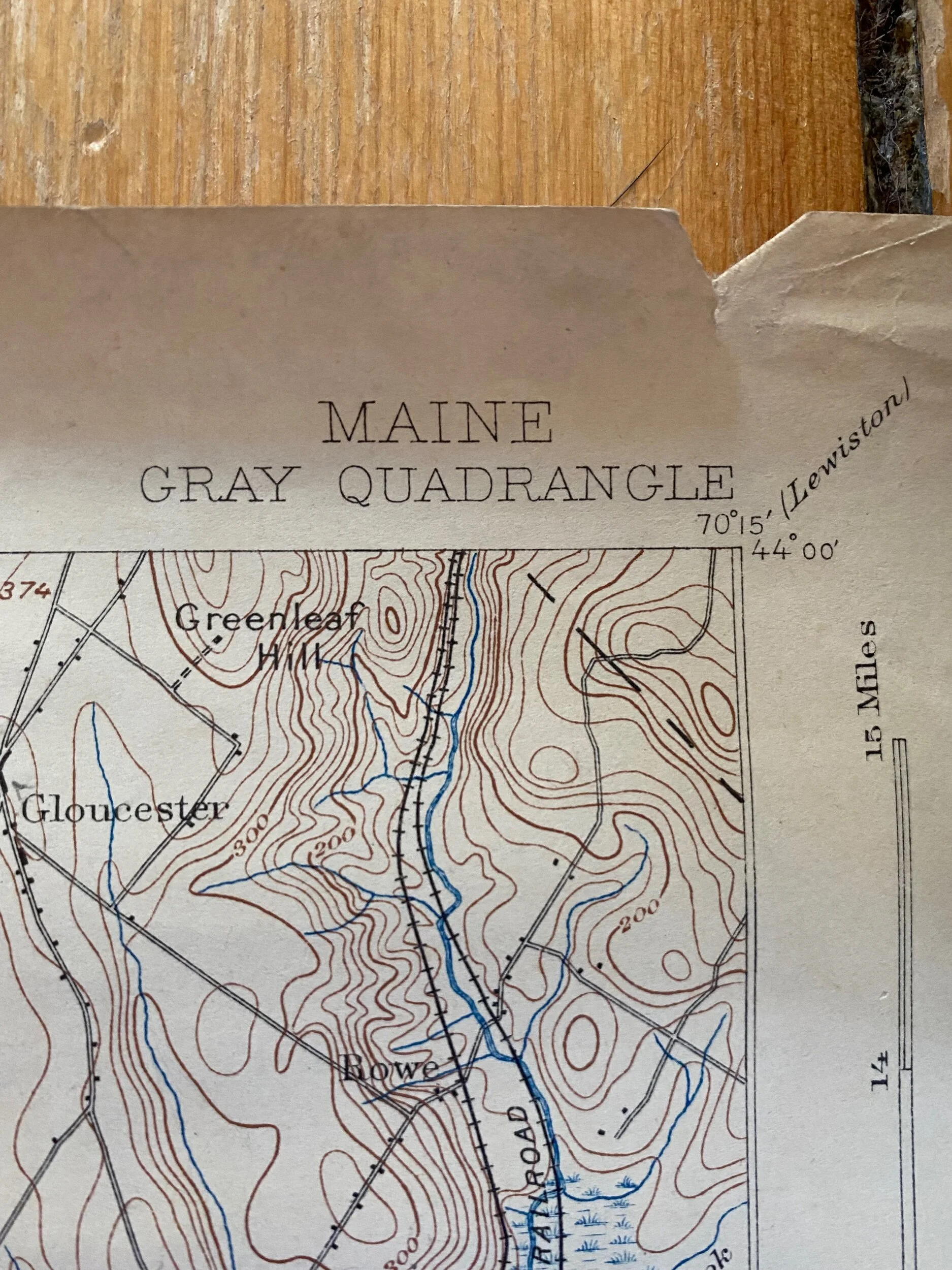 Image 13 of 17

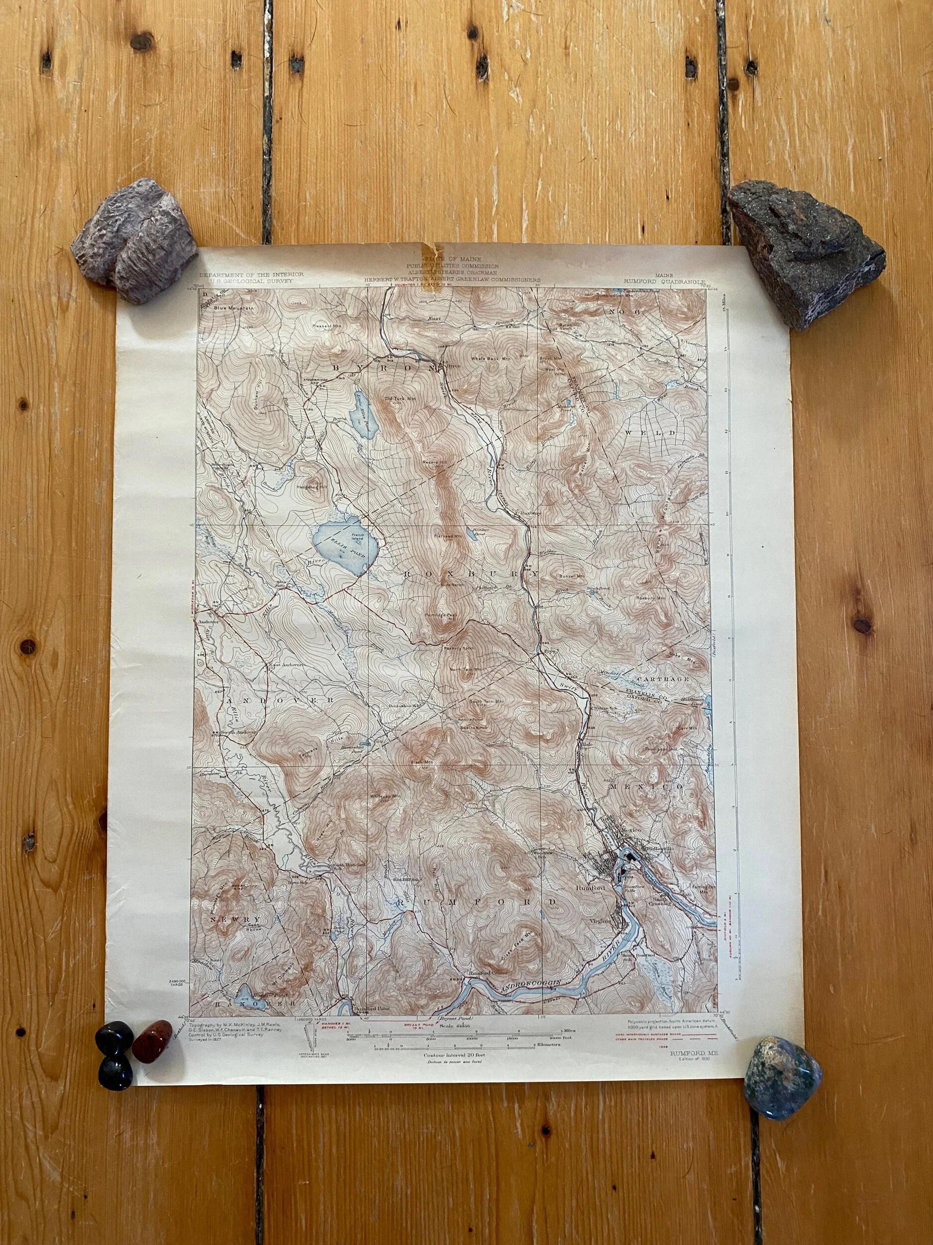 Image 14 of 17

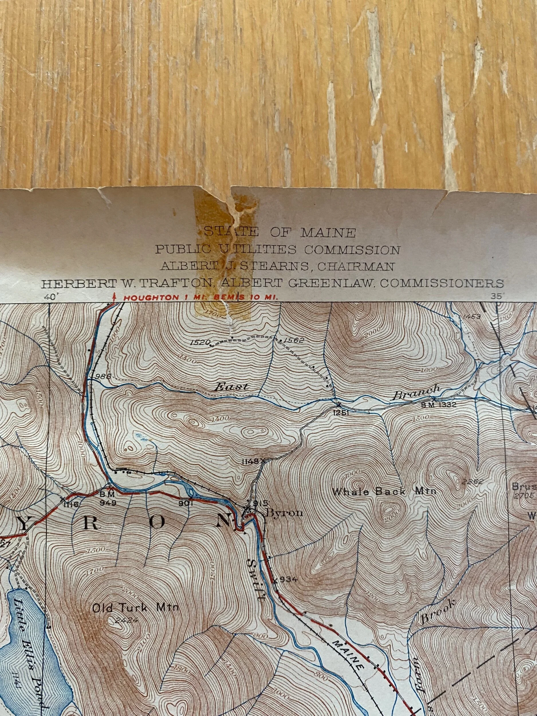 Image 15 of 17

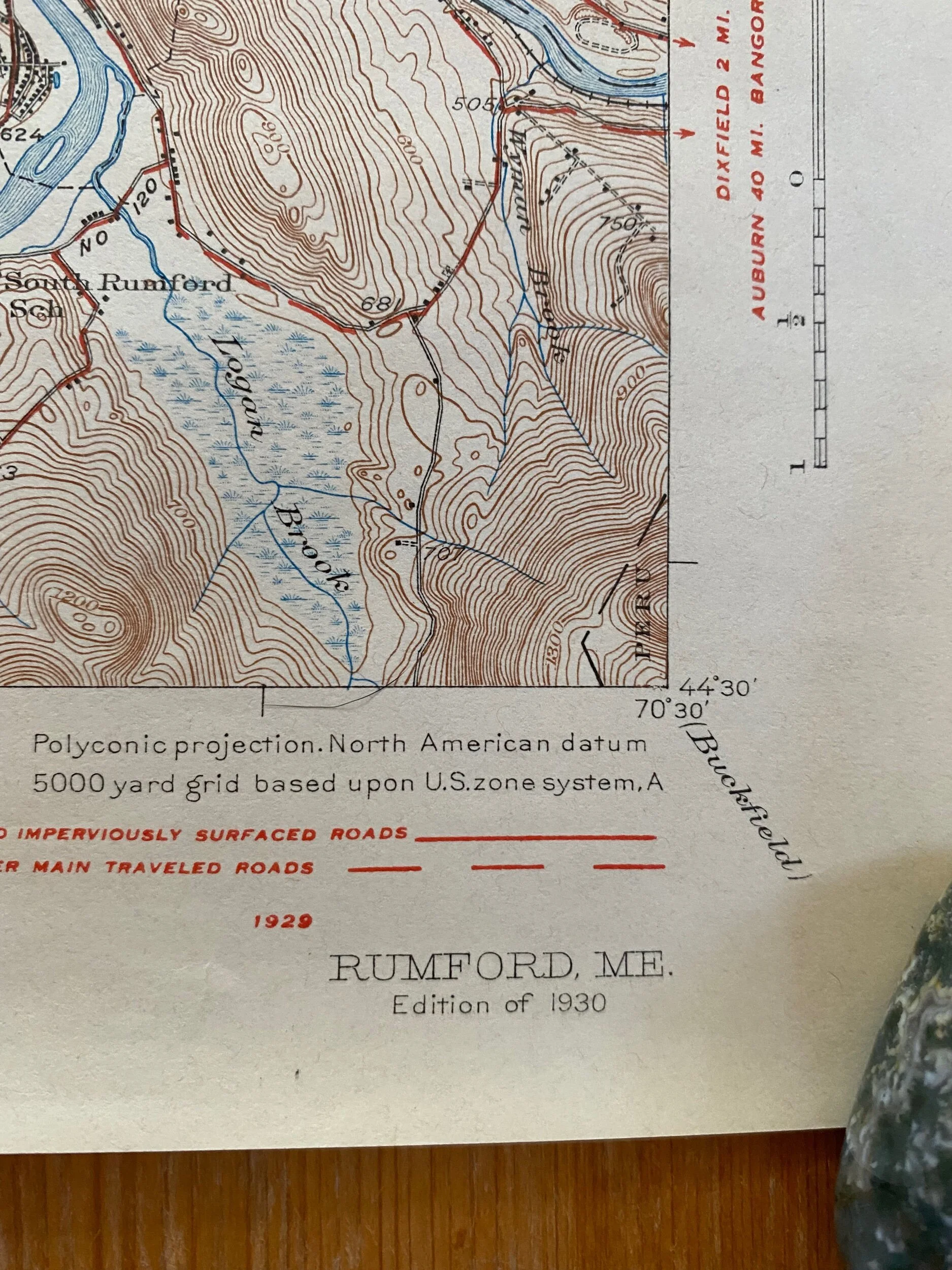 Image 16 of 17

 Image 17 of 17


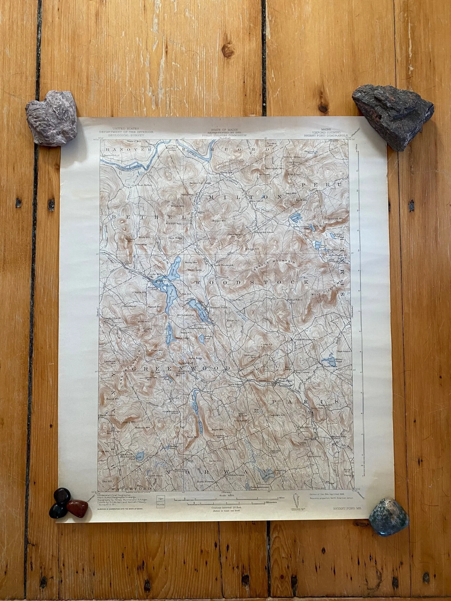
Vintage Geological Survey Maps of Maine (various)
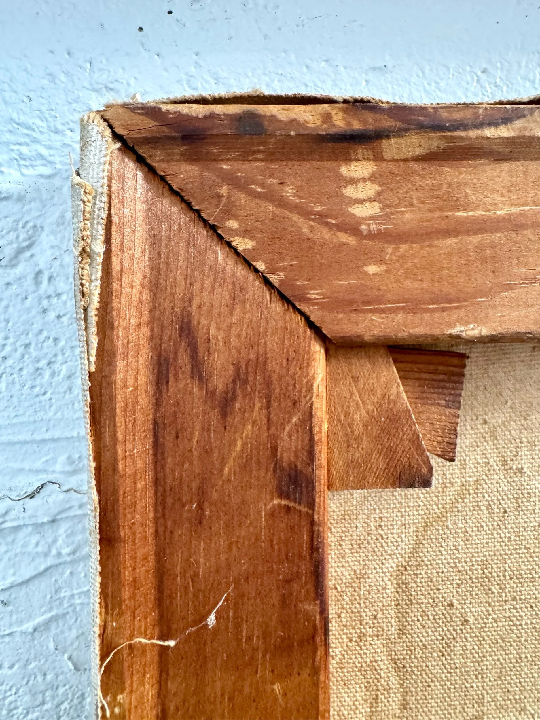
Vintage geological survey maps of locations in Maine: Rumford (1930), Gray (1927), Orono (1936), and Bryant Pond (1938), printed by the U.S. Department of the Interior. These are in good vintage condition, especially considering their age. Please note some more significant wear on “Rumford” and “Gray,” as shown (tape mark and a small tear). These would make incredible gifts- frame or no frame!
Dimensions [16.5” across x 20” tall]


